
Recent News
National Weather Service Damage Survey for May 26, 2024
Straight-line Wind Event and Damage in Northern Woodford County
Estimated Peak Wind: 80 mph
Path Length /statute/: 2.35 miles
Start Date & Time: 05/26/2024 at 12:48 PM EDT
End Date & Time 05/26/2024 at 12:50 PM EDT
Event Summary:
The National Weather Service storm damage survey team confirmed several concentrated areas of straight line wind damage across Northern Woodford County. (Shown on map).
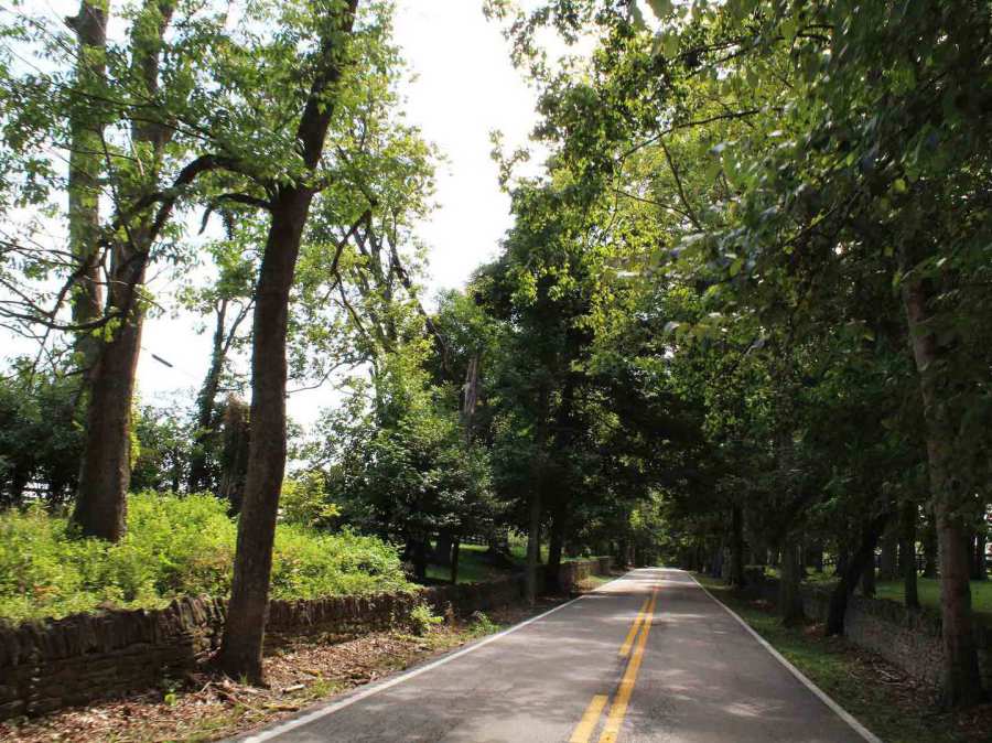
Areas of damage consistent with straight line winds of 75 to 80 mph were observed along Old Frankfort Pike west of Midway Road (US 62). Damage consisted of dozens of uprooted and topped trees which were blown to the northeast and north-northeast. Most of the tree damage was consistent with 70 to 75 mph winds; however, there was a 10 foot wide healthy oak with an enormous root ball that was uprooted, suggesting an increase to 80 mph winds. No twisting of trees was exhibited.
Drone photography showed numerous corn and hay swirls of concentrated winds being translated down to the ground. An older barn in a state of disrepair on Woodlake Road (KY 1685) was destroyed, although 3 nearby barns received no damage. Additionally, there was sporadic straight line wind damage along Leestown Pike (US 421) between the Franklin County line and Midway.


Ancient tree adjacent to rock wall blown over by wind shear event.

Damages to historic rock fences from
uprooted trees along Old Frankfort Pike.

One of the stumps remaining on Woodburn Farm from a blown down tree on May 26.